| |
Recorrido Arqueológico El Mesón
List of Figures
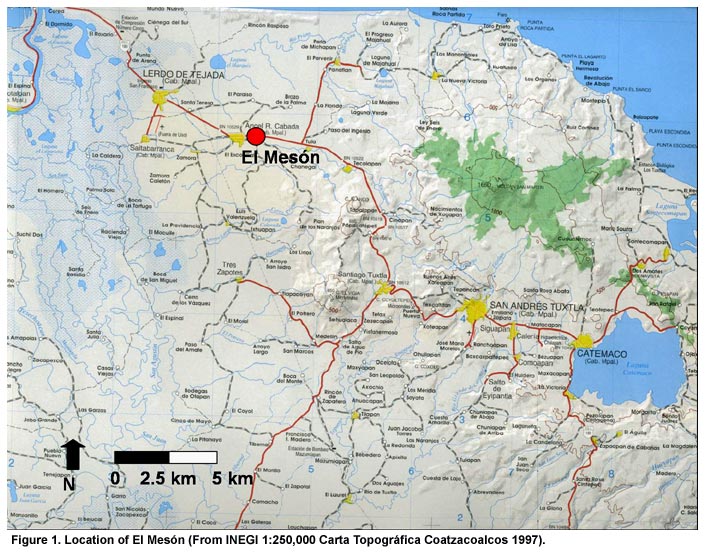
Figure 1. Location of El Mesón (From INEGI 1:250,000 Carta Topográfica Coatzacoalcos 1997).
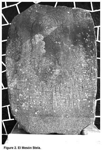
Figure 2. El Mesón Stela.
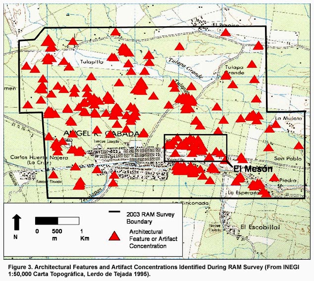
Figure 3. Architectural Features and Artifact Concentrations Identified During RAM Survey (From INEGI 1:50,000 Carta Topográfica, Lerdo de Tejada 1995).
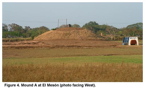
Figure 4. Mound A at El Mesón (photo facing West).
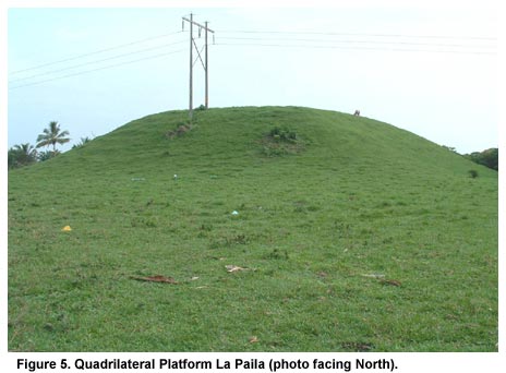
Figure 5. Quadrilateral Platform La Paila (photo facing North).
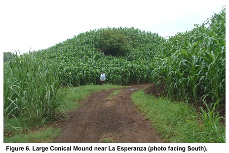
Figure 6. Large Conical Mound near La Esperanza (photo facing South).
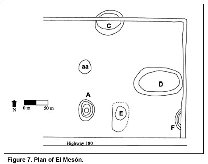
Figure 7. Plan of El Mesón.
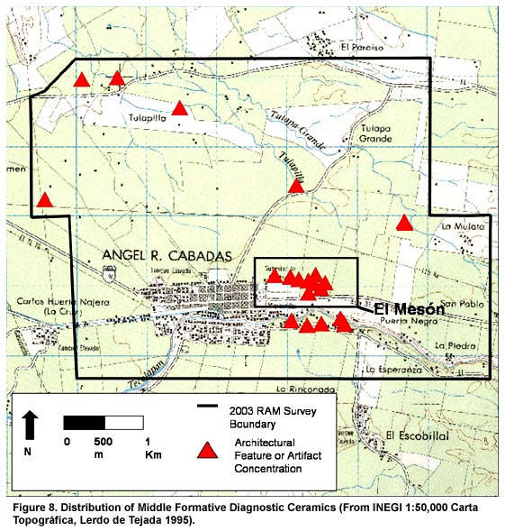
Figure 8. Distribution of Middle Formative Diagnostic Ceramics (From INEGI 1:50,000 Carta Topográfica, Lerdo de Tejada 1995).
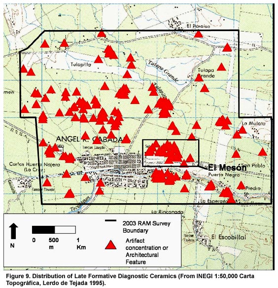
Figure 9. Distribution of Late Formative Diagnostic Ceramics (From INEGI 1:50,000 Carta Topográfica, Lerdo de Tejada 1995).
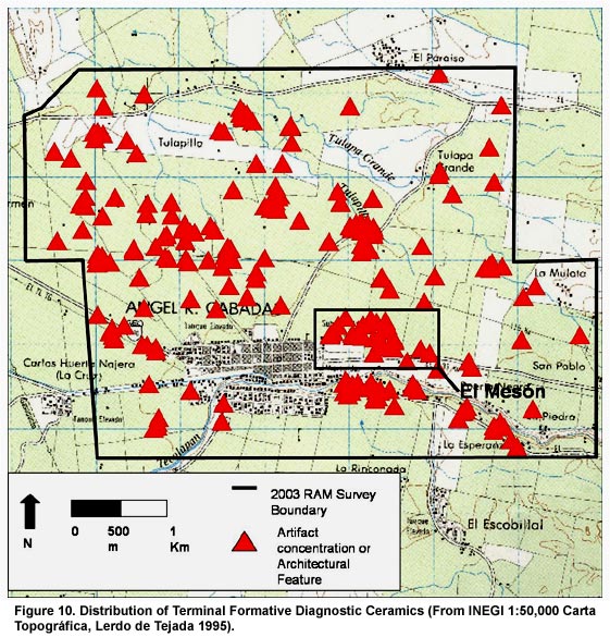
Figure 10. Distribution of Terminal Formative Diagnostic Ceramics (From INEGI 1:50,000 Carta Topográfica, Lerdo de Tejada 1995).
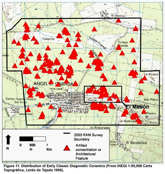
Figure 11. Distribution of Early Classic Diagnostic Ceramics (From INEGI 1:50,000 Carta Topográfica, Lerdo de Tejada 1995).
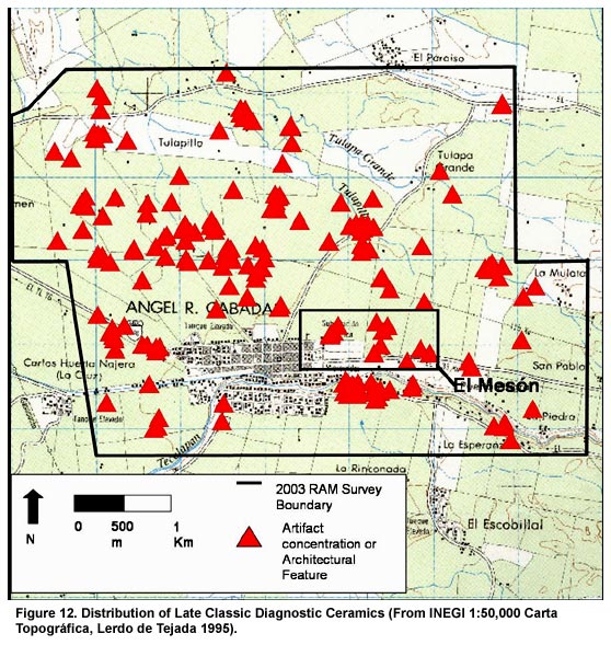
Figure 12. Distribution of Late Classic Diagnostic Ceramics (From INEGI 1:50,000 Carta Topográfica, Lerdo de Tejada 1995).
Previous Page | Table of Contents | Next Page
Return to top of page |