| |
Totógal: Investigations of Postclassic Occupation and the Aztec Frontier in the Tuxtla Mountains, Veracruz, México
List of Figures
Figure 1: Topoglyph of Toztlan. (Codex Mendoza, [Berdan and Anawalt 1992]).
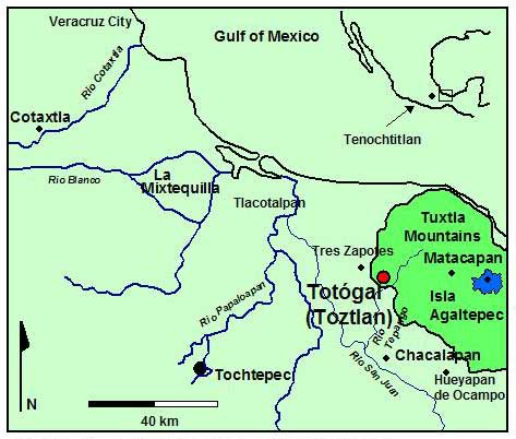
Figure 2: Totógal, Sierra de los Tuxtlas and Papaloapan Basin.
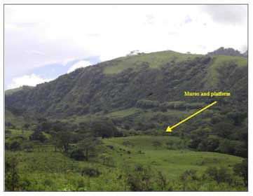
Figure 3: Totógal as seen from promontory in southeast.
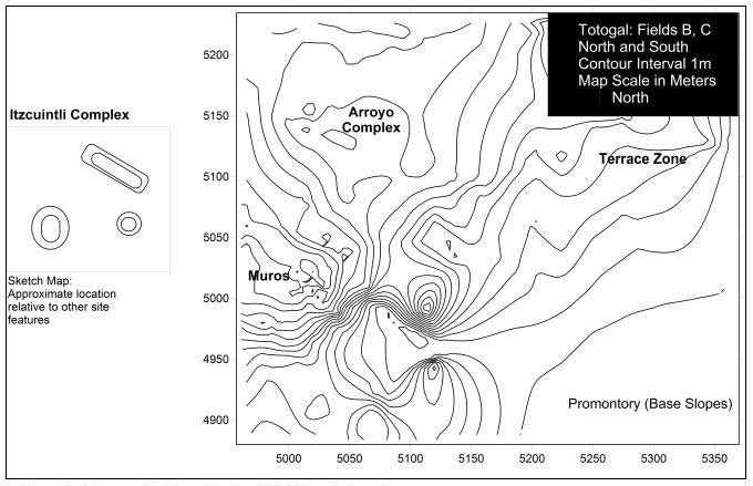
Figure 4: Topographic Map of Totógal (Field D not shown).
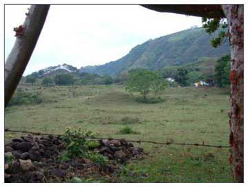
Figure 5: Field A (Itzcuintli Complex), looking west from Muros.
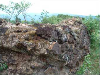
Figure 6: Mortared Walls on Main Platform (Muros Zone).
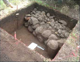
Figure 7: Operation 3, Dry-laid wall sitting on tepetate.
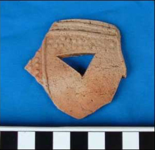
Figure 8: Texcoco Molded Censer Fragment.
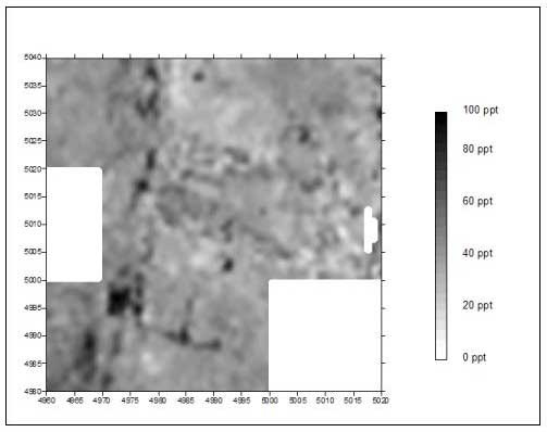
Figure 9: Muros Conductivity (Electromagnetic Induction) (Black areas correspond to foundation walls).
Figure 10: Trench 1, North Wall Profile, N5145 E5025, trench placed at east toe of mound.
Figure 11: Tres Picos II-Style Bowl (scale in cm).
Previous Page | Table of Contents | Next Page
Return to top of page |