| FAMSI © 2004: Michael L. Loughlin |
||
|
Recorrido Arqueológico El Mesón
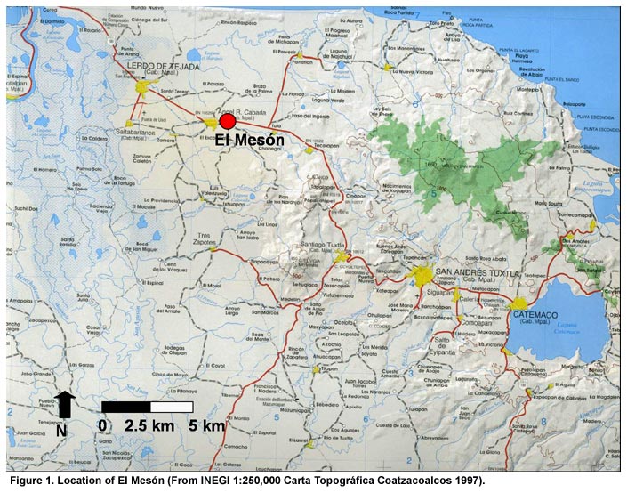
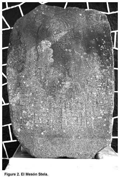
Background The archaeological site El Mesón is located in the eastern Papaloapan River Basin just outside of the modern town Angel R. Cabada, Veracruz, México (Figure 1). Although the site has been known in the archaeological literature since the 1940s, it has not been the focus of intensive archaeological investigations. As part of his survey of stone monuments in the 1930s, Mathew Stirling (1943) passed through El Mesón documenting two monumental basalt sculptures, a small circular basalt altar and a carved piece of columnar basalt. Stirling, however, did not describe the site. In the 1950s, the largest and most famous monument from El Mesón, the El Mesón Stela (Figure 2), was recovered by local farmers. This monument was subsequently drawn by Miguel Covarrubias (1957), Philip Drucker (1968), and John Scott (1977). Based on observations of the numerous earthen mounds in the area, Coe (1965:679) described the zone around El Mesón as potentially having the highest density of Prehispanic settlement in Mesoamerica. Finally John Scott (1977) briefly visited El Mesón as part of a study on post Olmec art in the Gulf lowlands. Scott provided the only map of the site to date, and made several surface collections of ceramics. Comparisons of these materials with ceramics from nearby Tres Zapotes suggested that the primary occupation of El Mesón dated to the Late and Terminal Formative periods (Scott 1977:87-88).
This project was initiated in 2003 to investigate settlement patterns, political organization, and economic organization in the area around El Mesón during the Late and Terminal Formative periods. Between May 1 and July 14, 2003, an area of approximately 23 square kilometers around El Mesón was surveyed. This research marks the first systematic investigations in this area of the Southern Gulf Lowlands. |
||
|
Text links to all pages at this site are available at the FAMSI INDEX |
||