El Mapa de Teozacoalco: An Early Colonial Guide to Cultural Transformations
List of Figures
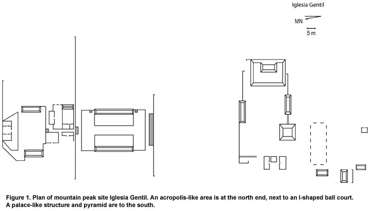
Figure 1. Plan of mountain peak site Iglesia Gentil. An acropolis-like area is at the north end, next to an I-shaped ball court. A palace-like structure and pyramid are to the south.
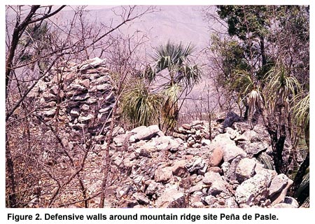
Figure 2. Defensive walls around mountain ridge site Peña de Pasle.
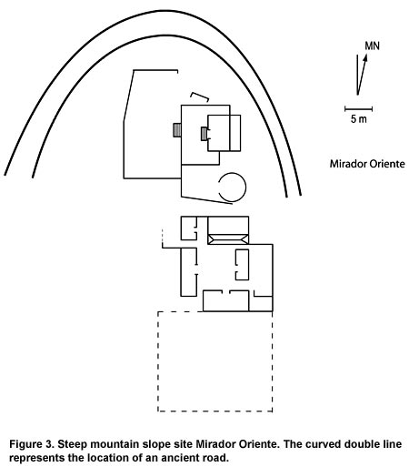
Figure 3. Steep mountain slope site Mirador Oriente. The curved double line represents the location of an ancient road.
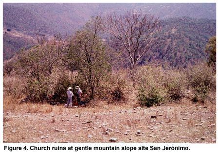
Figure 4. Church ruins at gentle mountain slope site San Jerónimo.
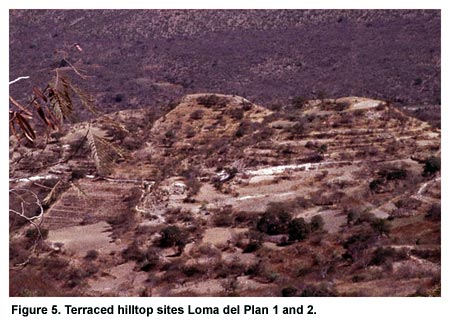
Figure 5. Terraced hilltop sites Loma del Plan 1 and 2.
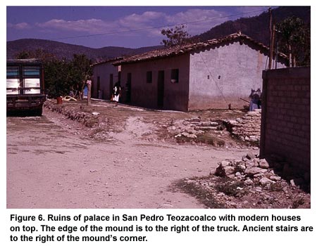
Figure 6. Ruins of palace in San Pedro Teozacoalco with modern houses on top. The edge of the mound is to the right of the truck. Ancient stairs are to the right of the mound’s corner.
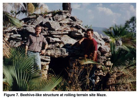
Figure 7. Beehive-like structure at rolling terrain site Maze.
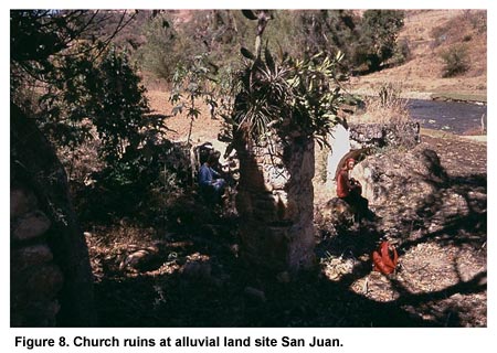
Figure 8. Church ruins at alluvial land site San Juan.
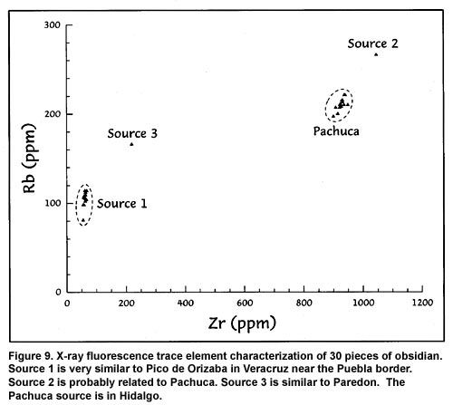
Figure 9. X-ray fluorescence trace element characterization of 30 pieces of obsidian. Source 1 is very similar to Pico de Orizaba in Veracruz near the Puebla border. Source 2 is probably related to Pachuca. Source 3 is similar to Paredon. The Pachuca source is in Hidalgo.
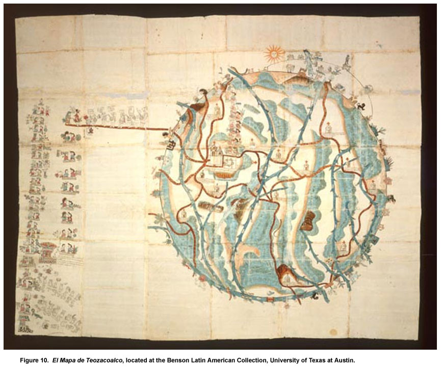
Figure 10. El Mapa de Teozacoalco, located at the Benson Latin American Collection, University of Texas at Austin.
Previous Page | Table of Contents | Next Page
Return to top of page |