Proyecto Río Verde, 2003: Report on Excavations at Yugüe
List of Figures
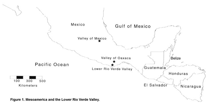
Figure 1. Mesoamerica and the Lower Río Verde Valley.
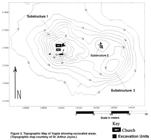
Figure 2. Topographic Map of Yugüe showing excavated areas. (Topographic map courtesy of Dr. Arthur Joyce.)
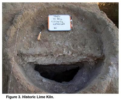
Figure 3. Historic Lime Kiln.
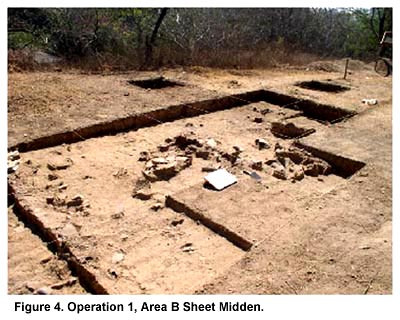
Figure 4. Operation 1, Area B Sheet Midden.
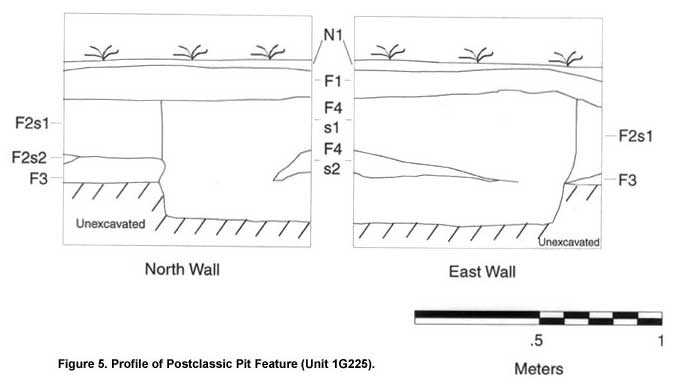
Figure 5. Profile of Postclassic Pit Feature (Unit 1G225).
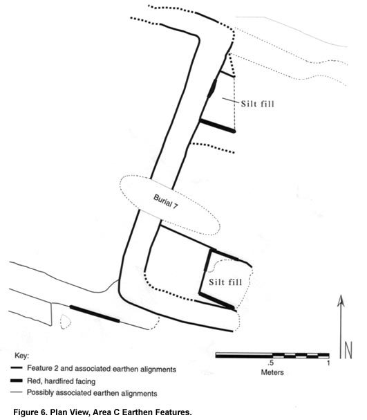
Figure 6. Plan View, Area C Earthen Features.
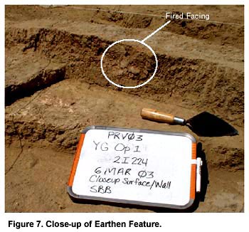
Figure 7. Close-up of Earthen Feature.
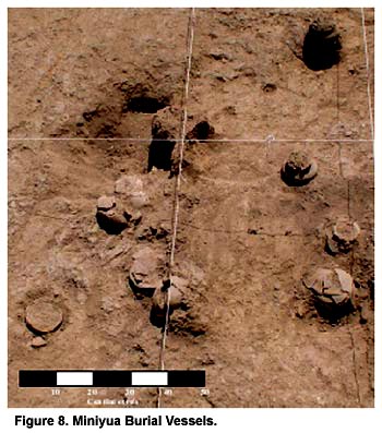
Figure 8. Miniyua Burial Vessels.
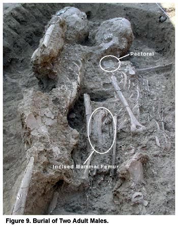
Figure 9. Burial of Two Adult Males.
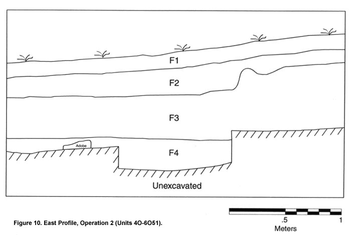
Figure 10. East Profile, Operation 2 (Units 4O-6O51).
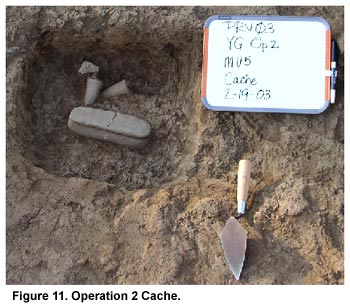
Figure 11. Operation 2 Cache.
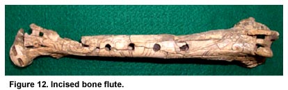
Figure 12. Incised bone flute.
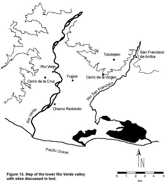
Figure 13. Map of the Lower Río Verde Valley with sites discussed in the text.
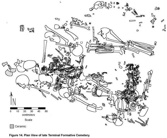
Figure 14. Plan View of late Terminal Formative Cemetery.
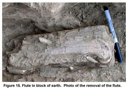
Figure 15. Flute in block of earth. Photo of the removal of the flute.
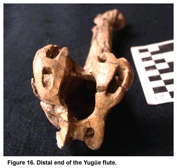
Figure 16. Distal end of the Yugüe flute.
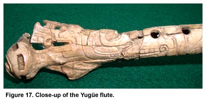
Figure 17. Close-up of the Yugüe flute.
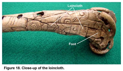
Figure 18. Close-up of the loincloth.
Previous Page | Table of Contents | Next Page |