| |
Classic Maya Borders and Frontiers: Excavations at El Paraíso, Copán, Honduras, 2003 Season
List of Figures
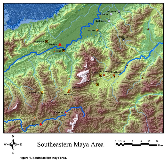
Figure 1. Southeastern Maya area.
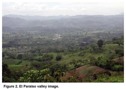
Figure 2. El Paraíso valley image.
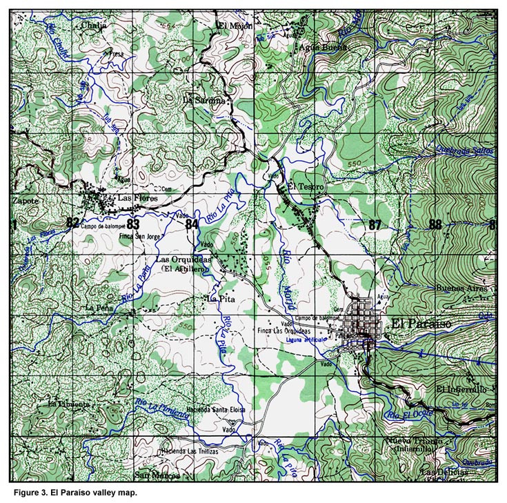
Figure 3. El Paraíso valley map.
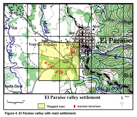
Figure 4. El Paraíso valley with main settlement.
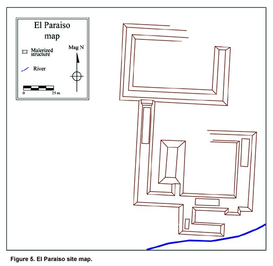
Figure 5. El Paraíso site map.
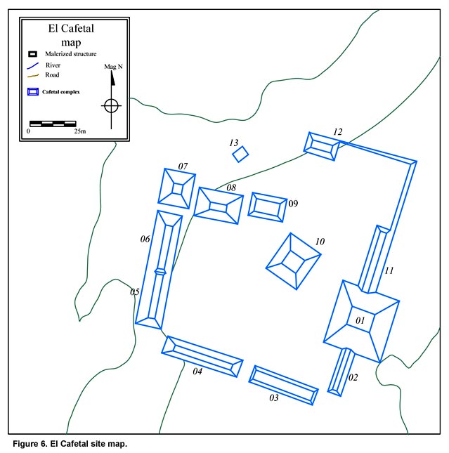
Figure 6. El Cafetal site map.
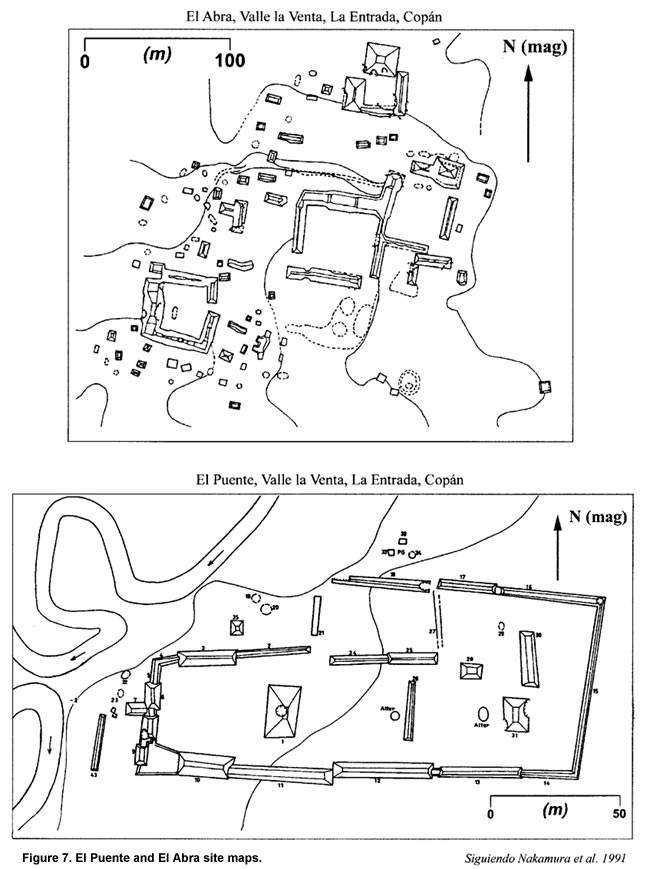
Figure 7. El Puente and El Abra site maps.
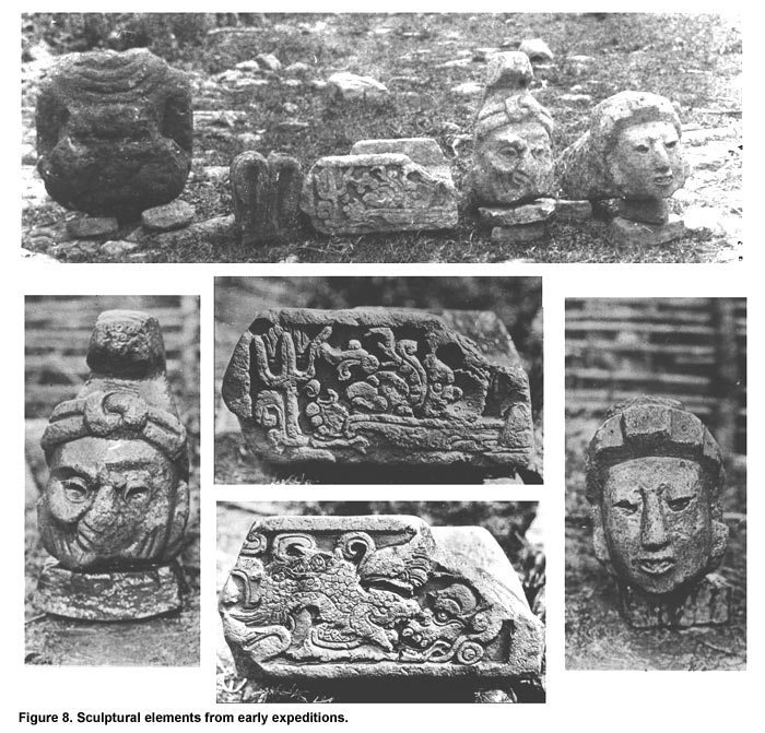
Figure 8. Sculptural elements from early expeditions.
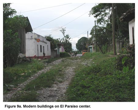
Figure 9a. Modern buildings on El Paraíso center.
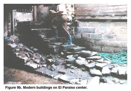
Figure 9b. Modern buildings on El Paraíso center.
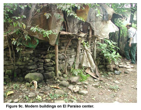
Figure 9c. Modern buildings on El Paraíso center.
Figure 9d. Modern buildings on El Paraíso center.
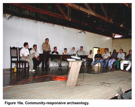
Figure 10a. Community-responsive archaeology.
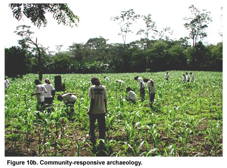
Figure 10b. Community-responsive archaeology.
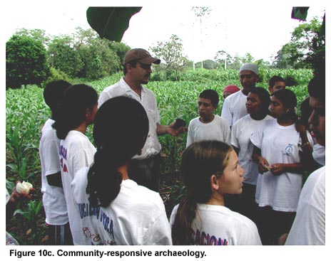
Figure 10c. Community-responsive archaeology.
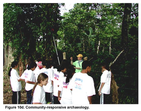
Figure 10d. Community-responsive archaeology.
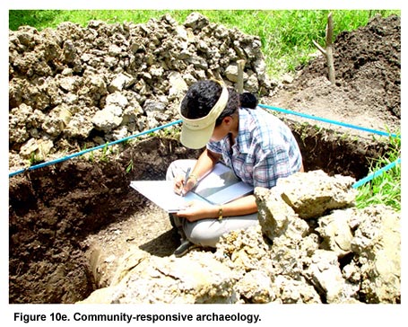
Figure 10e. Community-responsive archaeology.
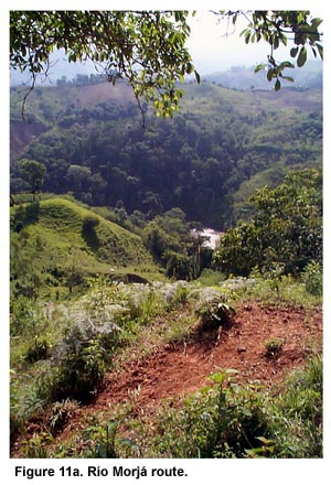
Figure 11a. Río Morjá route.
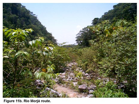
Figure 11b. Río Morjá route.
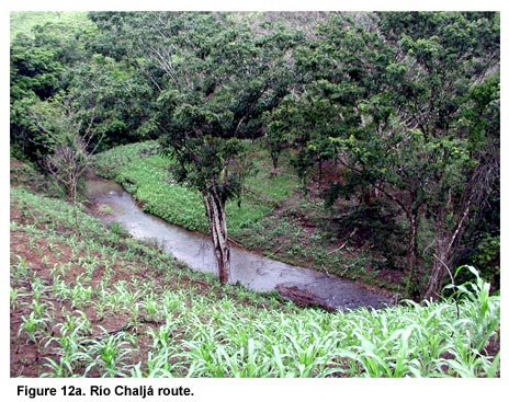
Figure 12a. Río Chaljá route.
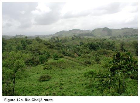
Figure 12b. Río Chaljá route.
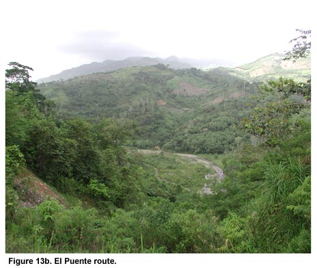
Figure 13a. El Puente route.
Figure 13b. El Puente route.
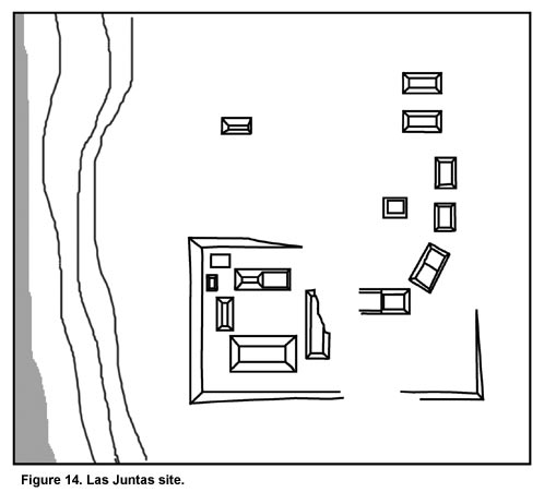
Figure 14. Las Juntas site.
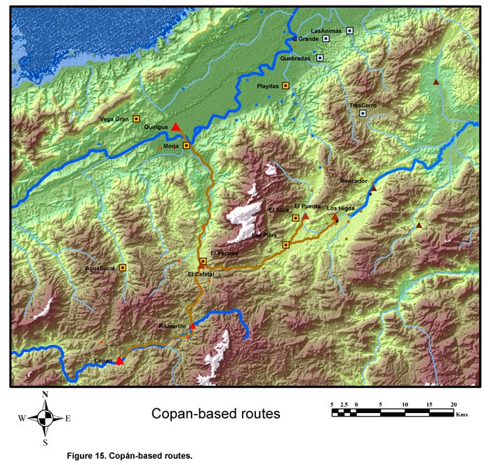
Figure 15. Copán-based routes.
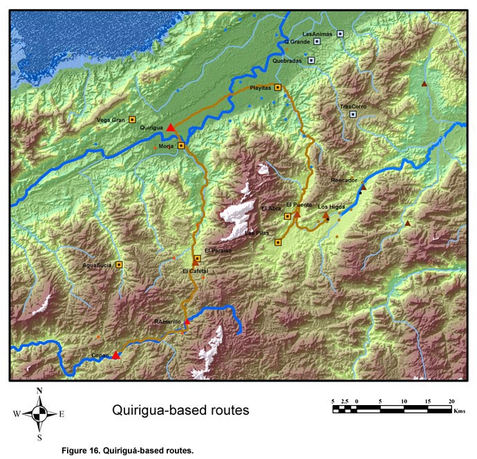
Figure 16. Quiriguá-based routes.
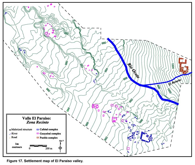
Figure 17. Settlement map of El Paraíso valley.
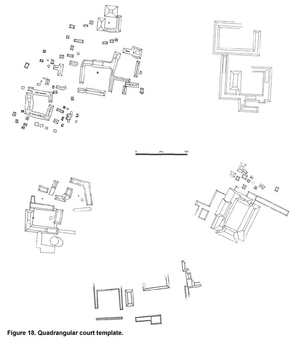
Figure 18. Quadrangular court template.
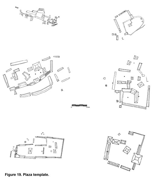
Figure 19. Plaza template.
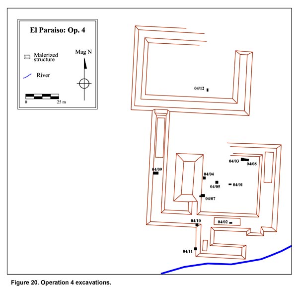
Figure 20. Operation 4 excavations.
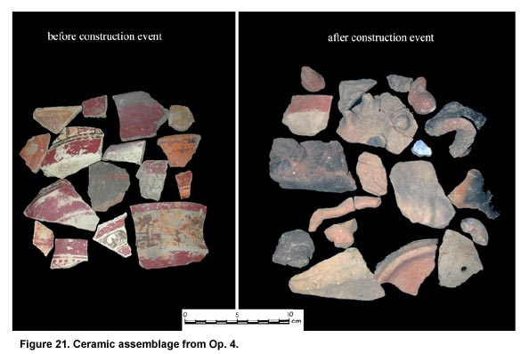
Figure 21. Ceramic assemblage from Op. 4.
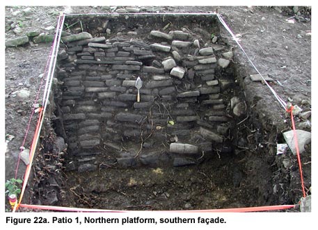
Figure 22a. Patio 1, Northern platform, southern façade.
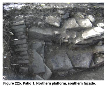
Figure 22b. Patio 1, Northern platform, southern façade.
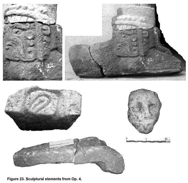
Figure 23. Sculptural elements from Op. 4.
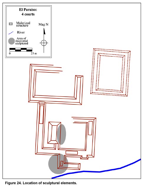
Figure 24. Location of sculptural elements.
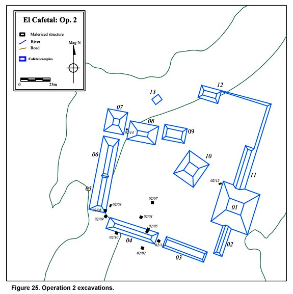
Figure 25. Operation 2 excavations.
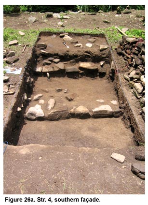
Figure 26a. Str. 4, southern façade.
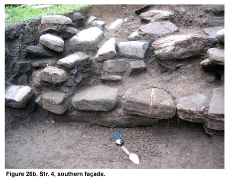
Figure 26b. Str. 4, southern façade.
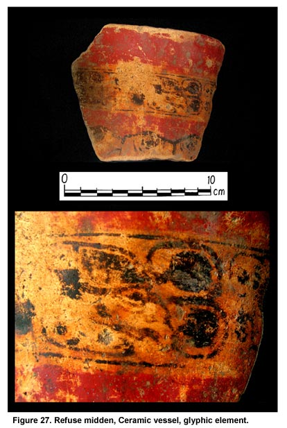
Figure 27. Refuse midden, Ceramic vessel, glyphic element.
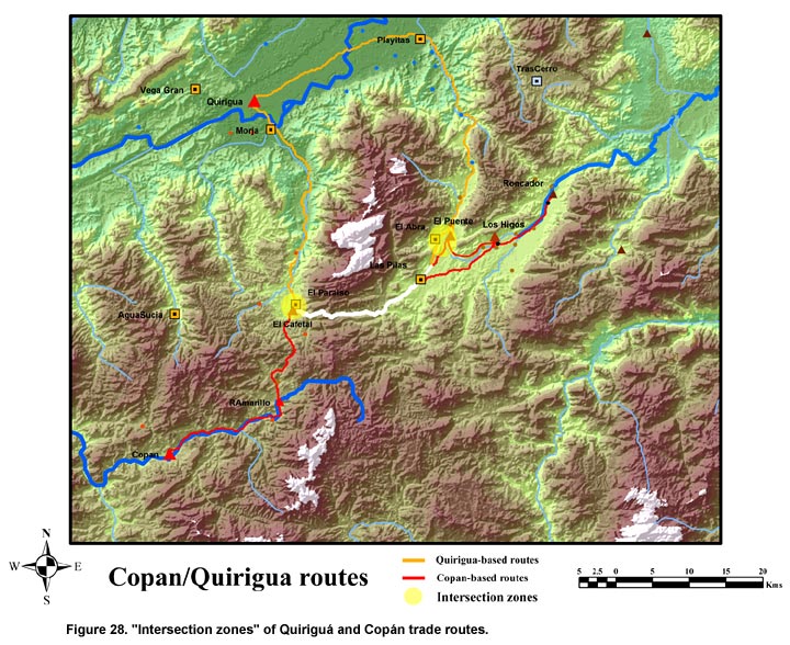
Figure 28. "Intersection zones" of Quiriguá and Copán trade routes.
Previous Page | Table of Contents | Next Page
Return to top of page |